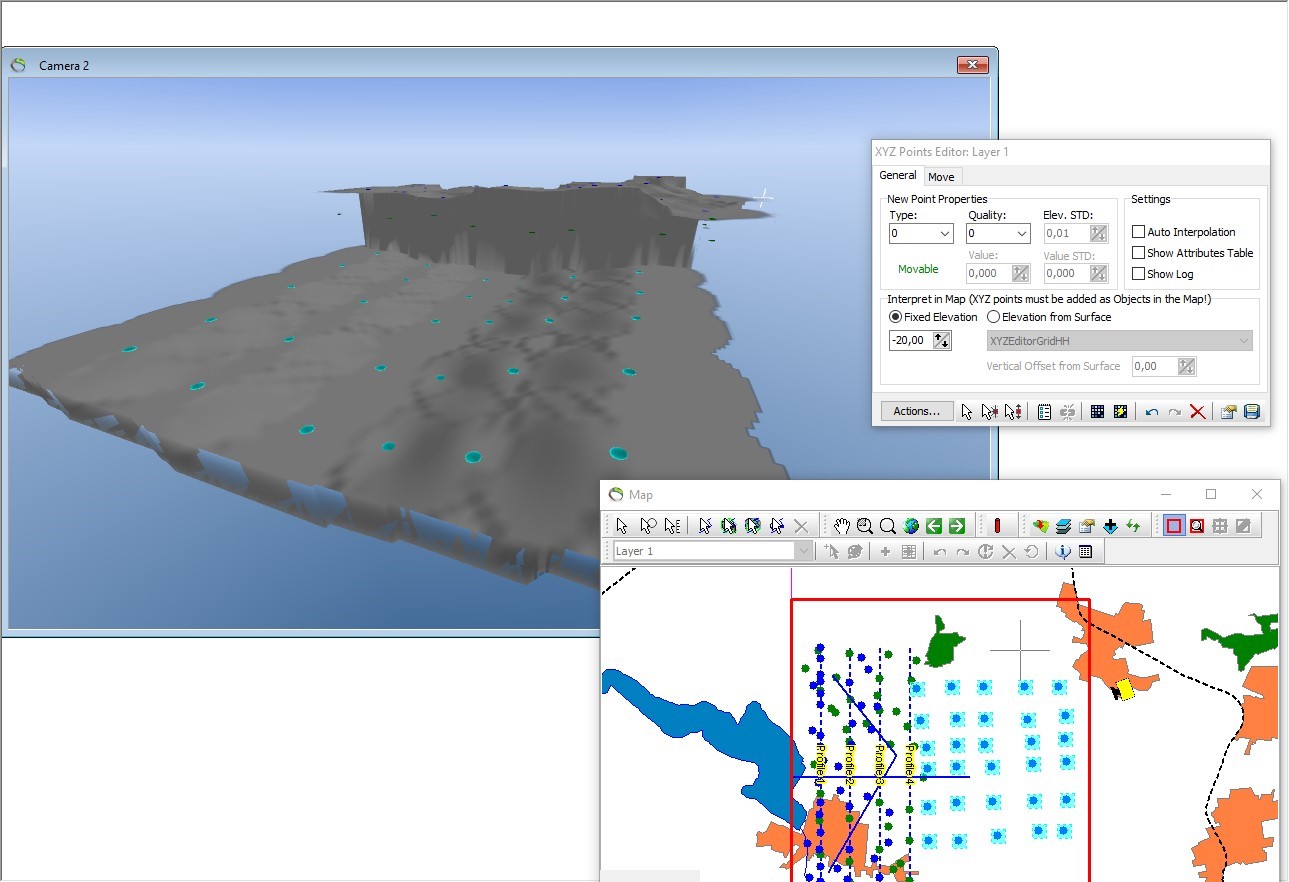
Add and Edit Interpretation Points in Map Window
This tutorial will show how to use the XYZ Points Editor Tool to edit XYZ points in the Map Window and how to interpolate XYZ points. This tutorial gives an idea of how to edit a geological structure, for example a buried valley. This is a tutorial for advanced users and detailed instructions on how to add data is not provided for all object types.
Step 1. Start Edit Session
1. Open the Model.gsmod project from the Demo folder.
2. Select “Layer 1 (XYZ Points)” in the editing toolbar as illustrated in the below image.
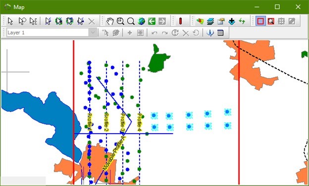
3. Select “Fixed Elevation” under Interpret in “Map (XYZ points must be added as Objects in the Map!)” and insert a value of -40,00.
4. Select the “Insert new points tool” in the XYZ Points Editor window.
5. Insert 10 points as illustrated in the below image, press the CTRL button, click the mouse and a point is inserted. Alternatively press space-button to insert points.
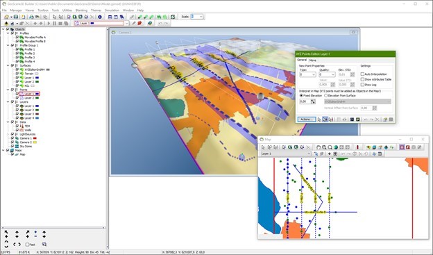
6. Change the “Elevation” to -30,00 in the XYZ Point Editor window.
7. Select the “Insert new points tool” in the map window.
8. Insert 10 points as illustrated in the below image.
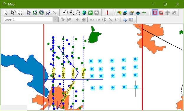
9. Change the “Elevation” to -20,00 in the XYZ Point Editor window.
10. Select the “Insert new points tool” in the map window.
11. Insert 10 points as illustrated in the below image.
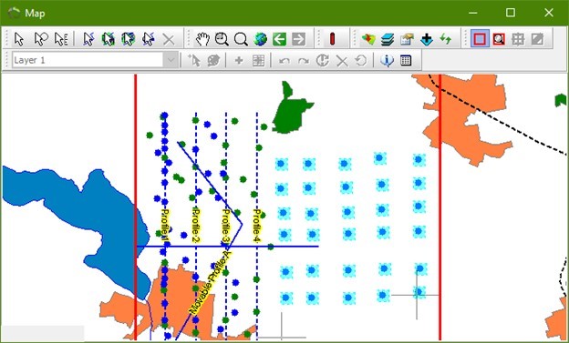
12. It is also possible to select the elevation from a specific surface. Choose the “Elevation from surface” and the relevant surface/grid. You can add a vertical offset from the surface.
Step 2. Interpolation
1. Click the “Interpolate” button  , in the XYZ Points Editor to start the interpolation wizard.
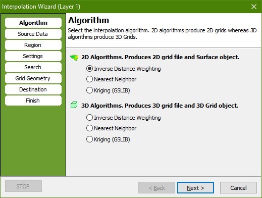
2. In the “Algorithm” page select the 2D “Inverse Distance Weighting” algorithm.
3. Go to the “Source Data” page. Press the “Get Data” button. Check the “Point Elevation” radio button, press “OK”. Tip: When a 2D interpolation algorithm has been selected this procedure is actually done automatically.
4. Go to the “Settings” page. Check that the “Exponent” is set to 2.
5. Go to the “Search” page. Set “Radius” to 500 for both X and Y.
6. Go to the “Grid Geometry” page. In the “Grid Extent” box press the “Scene Extent” button to set grid size to scene extent. In the “Node Count” box set the node count to 200 for both “X” and “Y”. Try to change the node spacing and watch the Node count changing.
7. Go to the “Destination” page. Check the “Replace Existing Surface” radio button and select “Layer 1 Surface”.
8. Go to the “Finish” page. Press “Finish” to perform the interpolation and to create a new surface object with associated dataset and source.

