Adding Surfaces
This tutorial will show how to add grid surfaces from a Surfer grid file source.
Requirements
Data
1. Open any project, e.g, the project you created in the tutorial:Creating a New Project.
2. You also need a .grd file locally on your computer. In this tutorial we add a surface interpolated using the algorithms kriging and Inverse Distance Weighting respectively, and in the end comparing the two surfaces.
Step 1. Open Add Data Wizard
1. Press the “Add Data Wizard” button  , to open the Add Data Wizard.
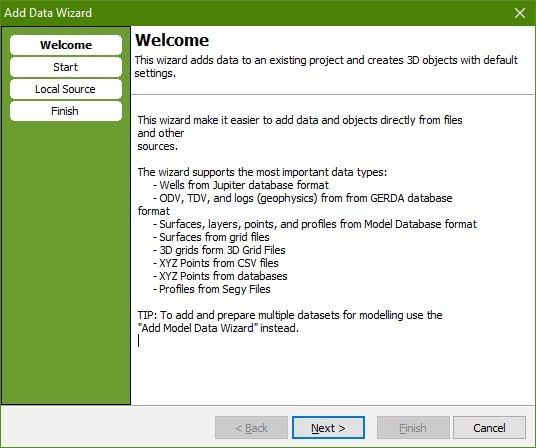
2. Press “Next” to go to the “Select Source” page.
3. Open the grid file “KGL_Kriging.grd”.
- 3A: It is possible to add multiple Surfaces, using 'Select Multiple (.grd only)“.
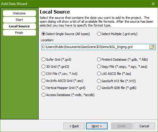
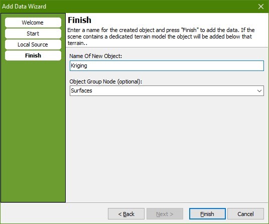
4. Press “Next” to go to the “Finish” page
5. Type a name for the new object.
6. Define key object node in the Object Manager, in this case “Surfaces”
7. Press “Finish”.
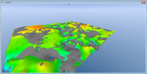
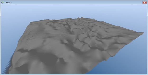
8. The KGL_Kriging will show in the Object Manager under “Surfaces” and will appears in the 3D camera window as in image below.
Step 2. Color Scale
1. Right click the surface in 3D and select “Object Properties” from the menu to open the Surface properties dialog.
2. Go to the “Material” tab.
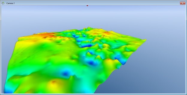
3. In the “Surface Bitmap Mode” box select “Color Scale” in the dropdown list and keep the default resolution of 1024.
4. Press the “Color Scale…” button to show the “Color Scale Editor”.
5. Press the “Predefined” button and select the color scale “Elevation Of Good Conductor”.
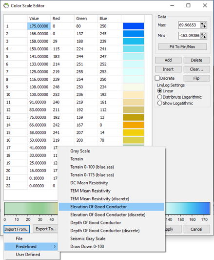
6. Press “OK” to close the “Color Scale Editor”.
7. Press “OK” to close the “Surface” editor.
Step 3. Add Another Surface
Step 4. Results; Compare the Two Surfaces
1. Make all other surfaces except the two we just added invisible (uncheck in the Object Manager tree).
2. Move the camera up or down to roughly the same elevation as the two surfaces.
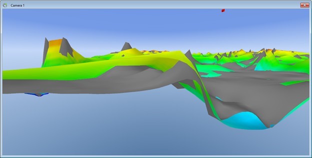
3. Press CTRL+I to increase near plane cut off for the camera. You should be able to see the difference between the two surfaces clearly. Press CTRL+U to decrease the offset.
4. This illustrates the difference between the interpolation algorithms “Inverse Distance Weighting” and “Kriging”. It is important to decide which surface further interpreting is made from.
