This is an old revision of the document!
3D Grid in 3D Window
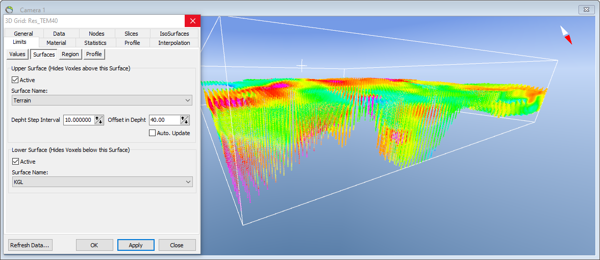
This tutorial shows how to visualize the 3D grid in the 3D window and how the map slice can be generated in depths below a surface, e.g. terrain.
Requirements
- A new project
- Terrain model grid file or other grid files (.grd)
- A 3D grid - see Add (multiple) 3D grid
Step 1 Visualize on the basis of value
The 3D grid will look something like this in the 3D window. 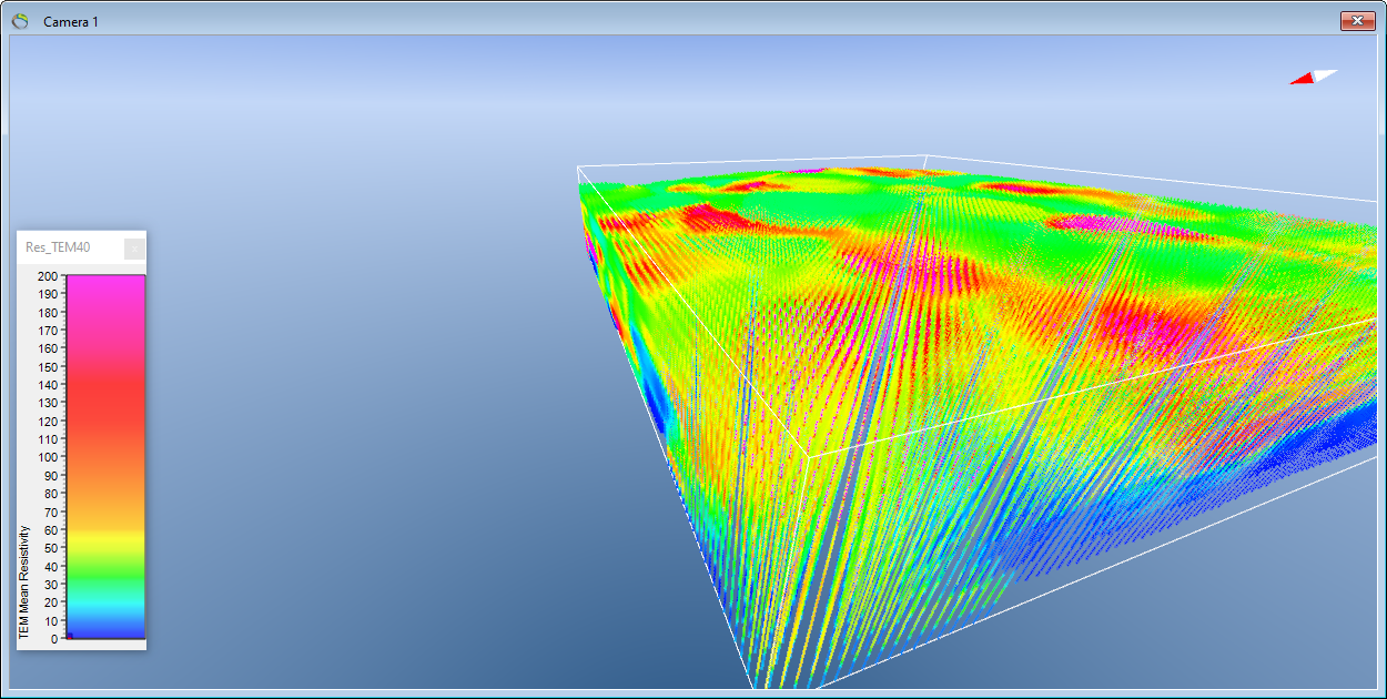
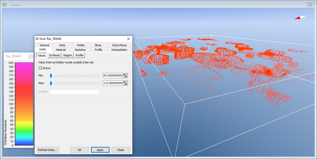
Go to Object Properties and select “Limits”, “Values”.
Here it is possible to select the Value Interval you wish to see your data in. Here we are looking at resistivity values between 95 and 115.
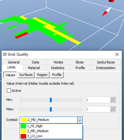
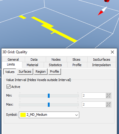
If your 3D contains symbols is it possible to select the desired value from the Symbol list:
